Top IoT Device Management APIs in 2025
In the ever-evolving landscape of technology, APIs (Application Programming Interfaces) play a crucial role in enabling developers to create innovative applications and services. Among the myriad of APIs available, the Vessel Traffic Information API stands out as a powerful tool for maritime tracking and management. This API provides real-time data about vessels worldwide, making it an invaluable resource for logistics, port management, and maritime safety. In this blog post, we will explore the top 10 features of the Vessel Traffic Information API, detailing their capabilities and practical applications.
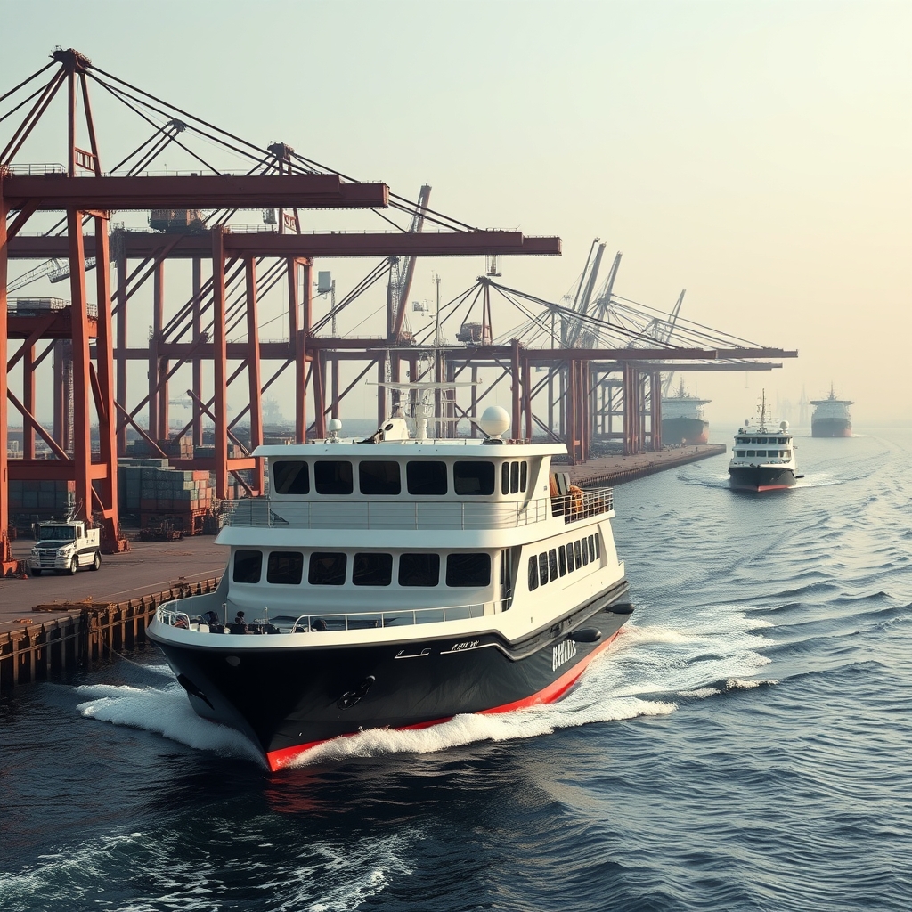
1. Get Vessel Photo
The Get Vessel Photo feature allows users to retrieve an image of a vessel based on its unique ship ID. This feature is particularly useful for applications that require visual identification of vessels, such as maritime monitoring systems or logistics platforms.
{"status":200,"success":true,"data":{"image":"base64_encoded_image_data"}}
In this response, the image field contains the base64 encoded image data of the vessel. Developers can decode this data to display the vessel's image in their applications, enhancing user experience and providing visual context.
2. Get Vessel Data by IMO Code
The Get Vessel Data by IMO Code feature enables users to pass the vessel's IMO (International Maritime Organization) number and retrieve detailed information about the ship. This includes essential data such as the vessel's name, type, flag, gross tonnage, and more.
{"status":200,"success":true,"data":{"imo_number":"9270622","vessel_name":"AQUAMAN","ship_type":"Offshore Tug/Supply Ship","flag":"Vanuatu","gross_tonnage":"2332","summer_deadweight_t":"2162","length_overall_m":"69","beam_m":"16","year_of_built":"2003"}}
Each field in the response provides critical information that can be used for various applications, such as fleet management, regulatory compliance, and maritime safety assessments.
3. Get Current Route by IMO Code
The Get Current Route by IMO Code feature allows users to retrieve the current route of a vessel based on its IMO code. This feature is vital for tracking vessel movements and planning logistics.
{"status":200,"success":true,"data":{"departure_port":"Willemstad, Curacao","departure_atd":"ATD: Oct 4, 15:31 UTC","callsign":"V7A4876","flag":"Marshall Islands","length_beam":"119 / 19 m","imo_mmsi":"9251183 / 538009548","navigation_status":"Under way using engine","current_draught":"4.9 m","arrival_port":"FOR ORDER","arrival_eta":"ETA: Oct 5, 21:00"}}
This response includes key details such as the departure port, navigation status, and estimated arrival time, which are essential for effective maritime operations and logistics planning.
4. Get Current Position
The Get Current Position feature provides real-time data on the vessel's current position, including its latitude, longitude, and navigational status. This feature is crucial for ensuring maritime safety and operational efficiency.
{"status":200,"success":true,"data":{"area":"North Atlantic Ocean","current_port":"NASSIT","latitude":"40.7128","longitude":"-74.0060","navigational_status":"Under way using engine","speed":"15.3 Knots","course":"N"}}
Developers can use this data to create applications that monitor vessel movements, enhance safety protocols, and optimize routing for maritime operations.
5. Get Position by MMSI
The Get Position by MMSI feature allows users to retrieve the current position of a vessel based on its MMSI (Maritime Mobile Service Identity) number. This feature is particularly useful for tracking specific vessels in real-time.
{"status":200,"success":true,"data":{"destination":"FOR ORDER","reported_eta":"ETA: Jan 1, 00:00","speed":"12.7 Knots","heading":"N","draught":"13.8 m","position_received":"5 d ago","latitude_longitude":"40.7128,-74.0060","navigational_status":"Moored"}}
This response provides critical information about the vessel's current status, enabling developers to build applications that enhance tracking and monitoring capabilities.
6. Ports Database
The Ports Database feature delivers a comprehensive list of all supported ports along with their IDs. This feature is essential for applications that require port information for logistics and maritime operations.
{"current_page":1,"data":[{"port_id":"2628","name":"AABENRAA","country":"Denmark","type":"Port","size":"Small"},{"port_id":"5307","name":"AAGOTNES","country":"Norway","type":"Port","size":"Small"}]}
Developers can use this data to populate dropdowns for port selection in applications, ensuring users have access to accurate and up-to-date port information.
7. Port Data
The Port Data feature allows users to retrieve detailed information about a specific port, including current weather conditions. This feature is vital for operational planning and maritime safety.
{"id":4,"port_id":"80","name":"AALBORG","country":"Denmark","country_code":"DK","type":"Port","size":"XLarge","temperature_celsius":"15.5°C","wind_speed":"6 knots","humidity":"95.3 %"}
Each field in the response provides valuable insights that can be used for operational planning, ensuring that vessels are aware of current conditions at their destination ports.
8. Vessels in Port
The Vessels in Port feature allows users to retrieve a list of all current vessels in a selected port. This feature is essential for port management and logistics.
{"success":true,"status":200,"port":"AMSTERDAM","id":"89","vessel_in_port":"808","vessels":[{"name":"LADY MARIA FISHER","country":"GB","mmsi":"232046269","imo":"9944302"},{"name":"ALJA","country":"NL","mmsi":"244710776","imo":null}]}
This response provides a list of vessels currently in port, allowing developers to create applications that monitor port activity and manage logistics effectively.
9. Port Expected Arrivals
The Port Expected Arrivals feature enables users to recognize expected vessels that will arrive at a specific port. This feature is crucial for logistics planning and resource allocation.
{"success":true,"status":200,"port":"AALBORG","id":"80","expected_arrivals":"3","expected_arrivals_data":[{"name":"RIX PLATO","country":"LR","mmsi":"636018620","imo":"9139323","Estimated Arrival":"2024-12-05 23:34"}]}
Developers can use this data to anticipate vessel arrivals, allowing for better resource allocation and operational efficiency at ports.
10. Port Activity
The Port Activity feature provides users with information about the activity at a specific port, including arrivals and departures. This feature is essential for real-time monitoring of port operations.
{"success":true,"status":200,"port":"AALBORG","id":"80","events":"10","event":[{"Event":"Arrival","Time":"2024-12-05 15:45","name":"MAGIA","country":"DK","mmsi":"219024832"},{"Event":"Departure","Time":"2024-12-05 11:21","name":"SARAH-B","country":"DK","mmsi":"218836000"}]}
This response provides a detailed overview of port activities, allowing developers to create applications that enhance operational efficiency and safety at ports.
Conclusion
The Vessel Traffic Information API is an essential tool for developers working in the maritime industry. With its comprehensive features, including vessel tracking, port management, and real-time data retrieval, this API empowers developers to create innovative applications that enhance operational efficiency and safety. By leveraging the capabilities of this API, businesses can optimize their logistics, improve safety protocols, and provide better services to their customers. As the maritime industry continues to evolve, APIs like the Vessel Traffic Information API will play a pivotal role in shaping the future of maritime operations.


